Description
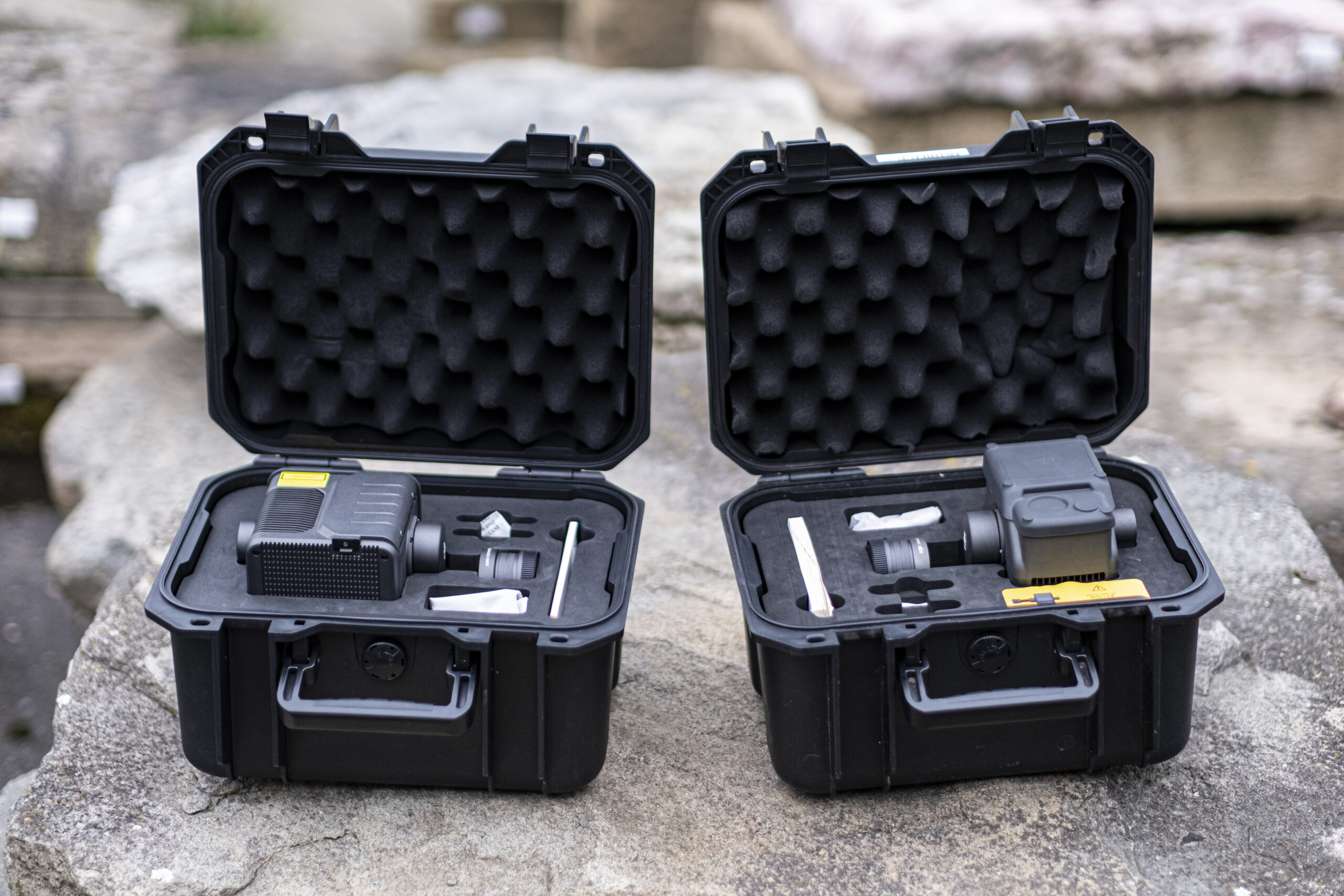
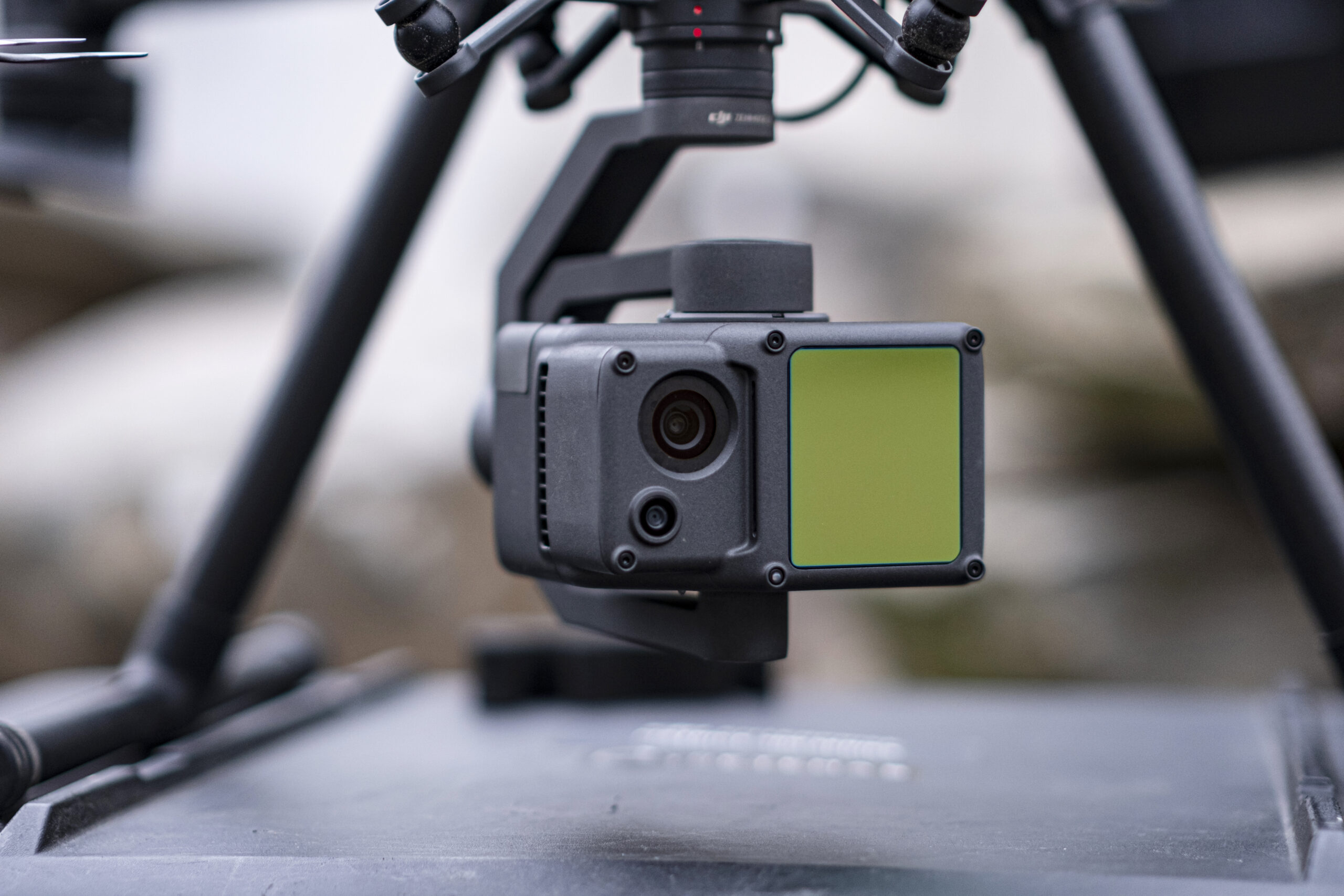
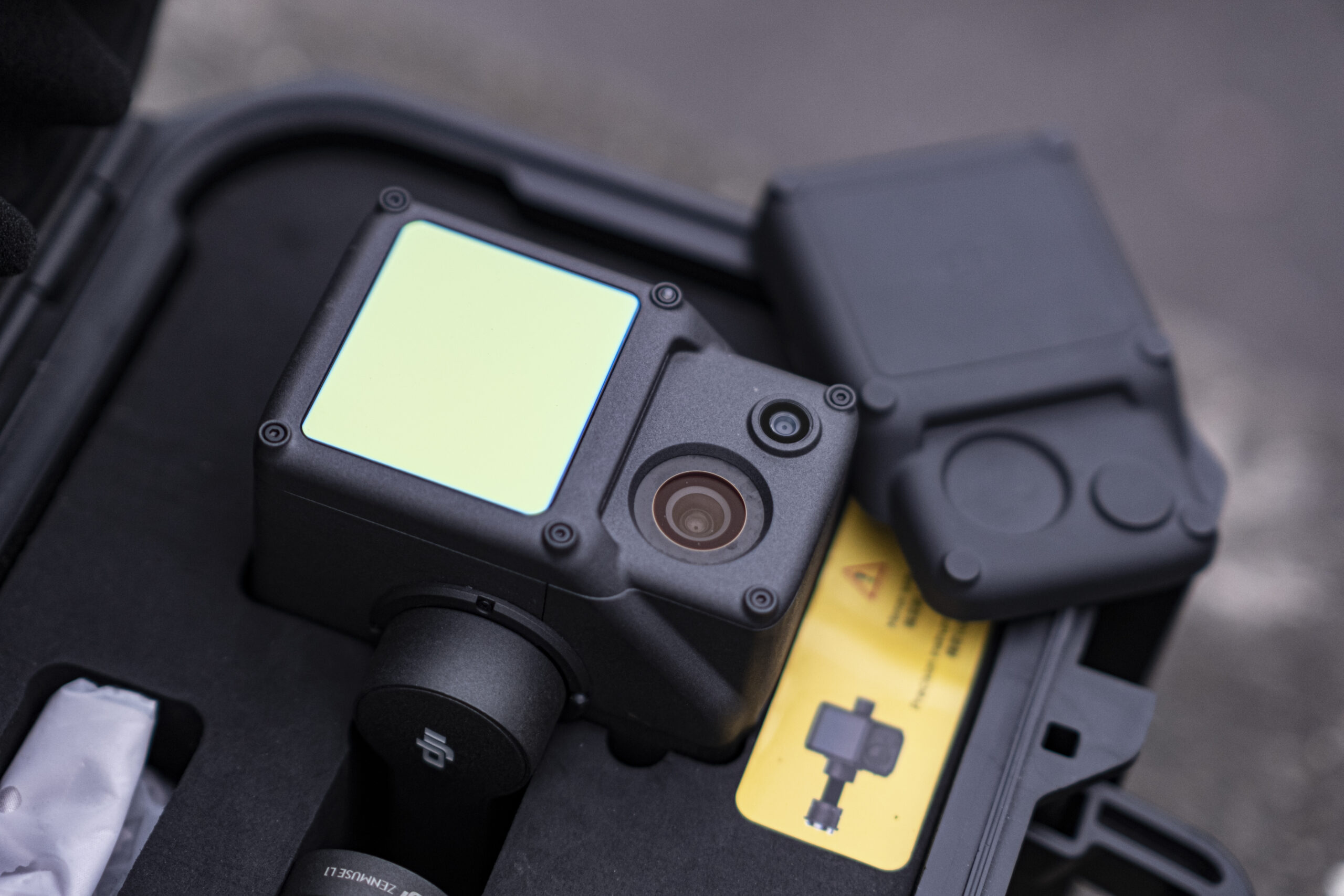
Scout model, with Velodyne VLP-16 laser sensor. 120-metre detection range,
with the capacity to take 600,000 measurements per second in the doublereturn
mode. Applications: 3D natural resources, analysis of the terrain under
vegetation for topographical surveys, civil works, archaeology, etc.
Uses and applications
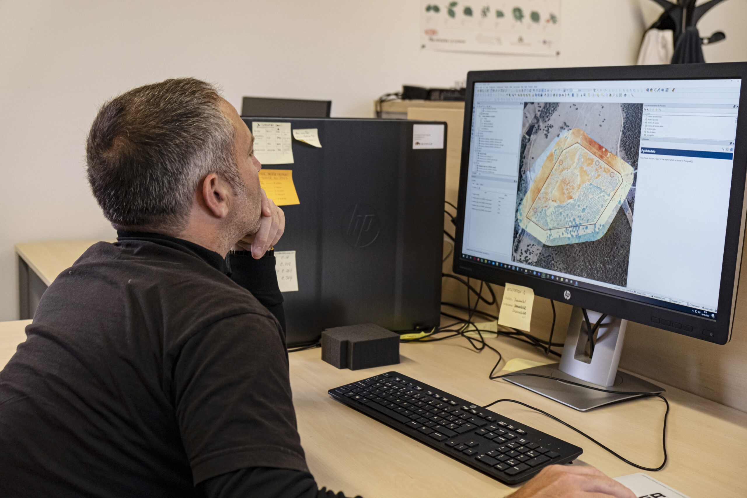
3D scanning of different scenarios (such as natural resources, civil works or sites, among others), allowing the laser to penetrate the different vegetation strata and obtain 3D structures of the vegetation (with the different strata), reating digital models of the terrain in areas with vegetation, scanning sites with a vegetation cover.
Equipment classification
Demo units
Service code
E.1
Equipment code
N2.5
Equipment code
Forestry, Agriculture, Environmental, Energy and Engineering Services based on
UAVs (drones).
Photos
Organisation
